Visit Macleay Valley Coast. The NSW Mid North Coast’s premier regional destination. Holiday here for a weekend or pop in on your next road trip.
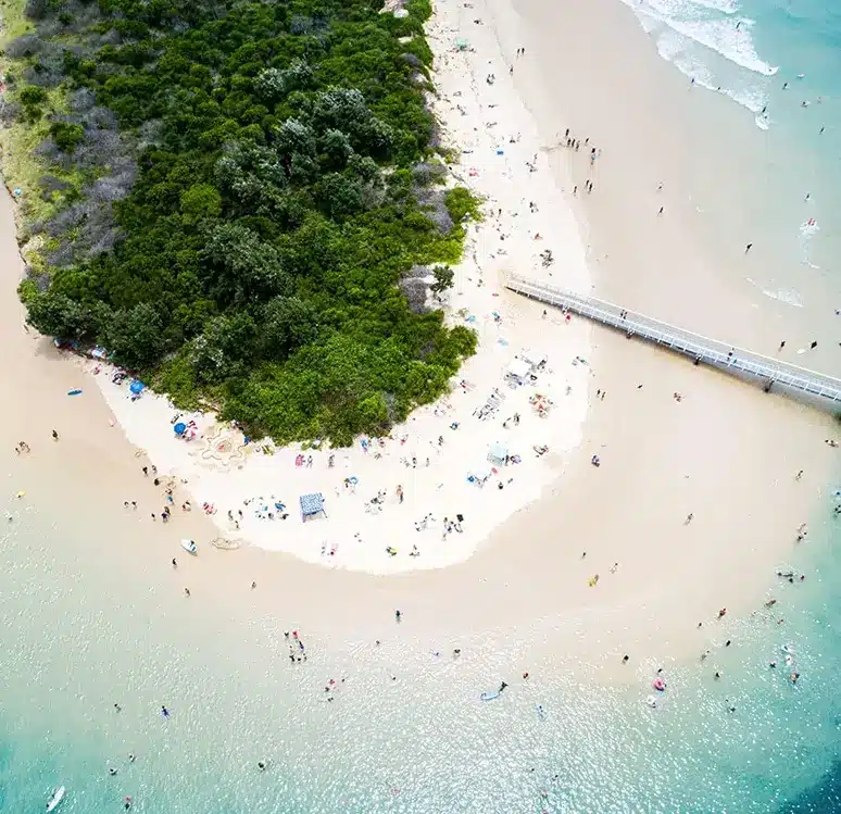
Located just 45-minutes north of Port Macquarie on the Mid North Coast, the Macleay Valley Coast offers an appealing mix of beautiful coastline and stunning hinterland as well as stand out attractions and vistas you won’t find anywhere else.
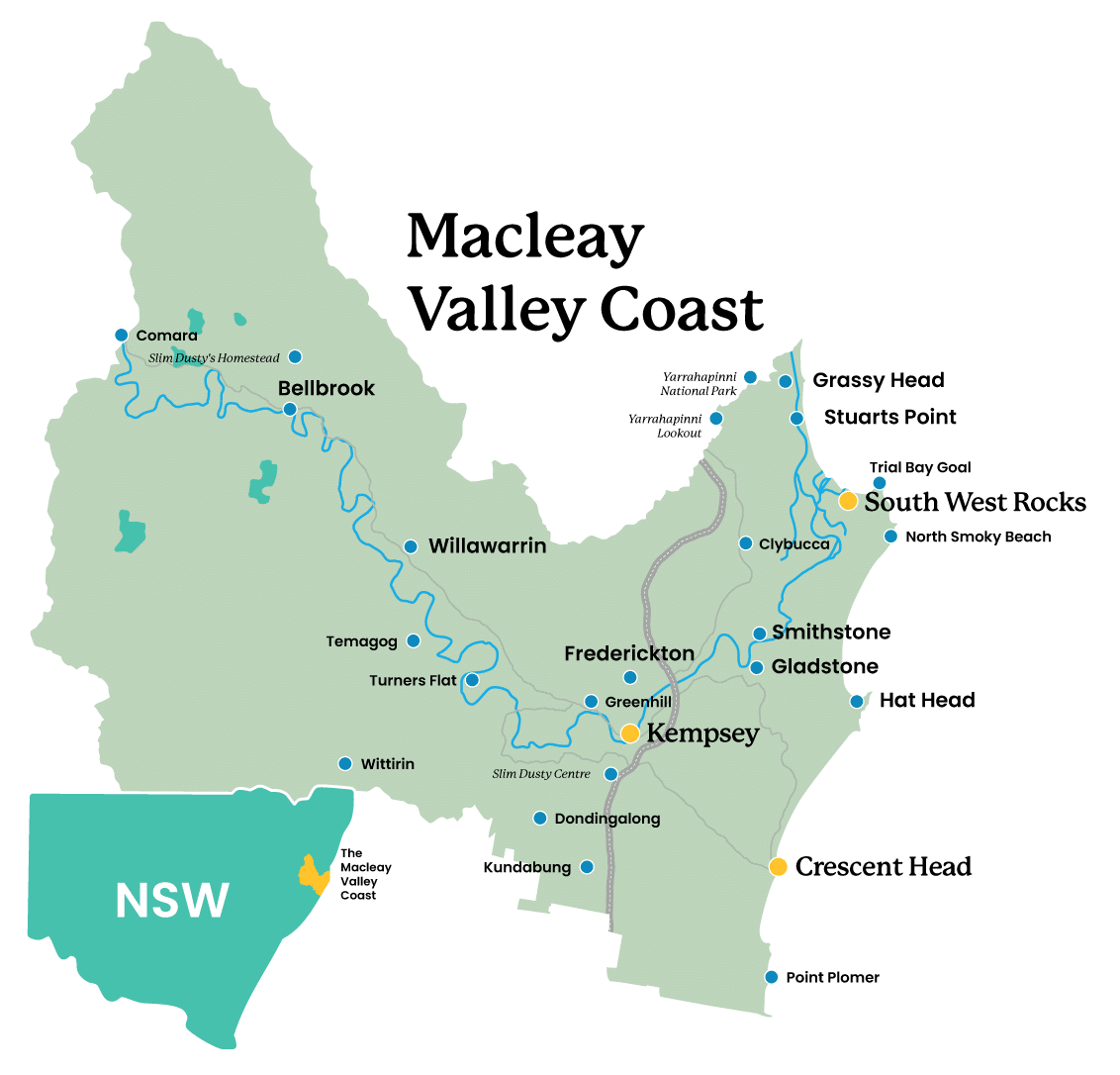
Stretching from Crescent Head in the south to Grassy Head in the north and the Hinterland to the west there is so much to explore when you visit the Macleay Valley Coast!
Explore the Macleay Valley
Explore more of the fantastic places to go on the Macleay Valley Coast.
Subscribe to our newsletter and receive updates and tips on what to do in the Macleay Valley Coast, including upcoming events and festivals, special offers and more…